Editor’s Note: This post was written before the beginning of time. The contents may no longer be relevant or accurate. Please investigate thoroughly before taking any advice or embarking on any adventures based on the information herein.
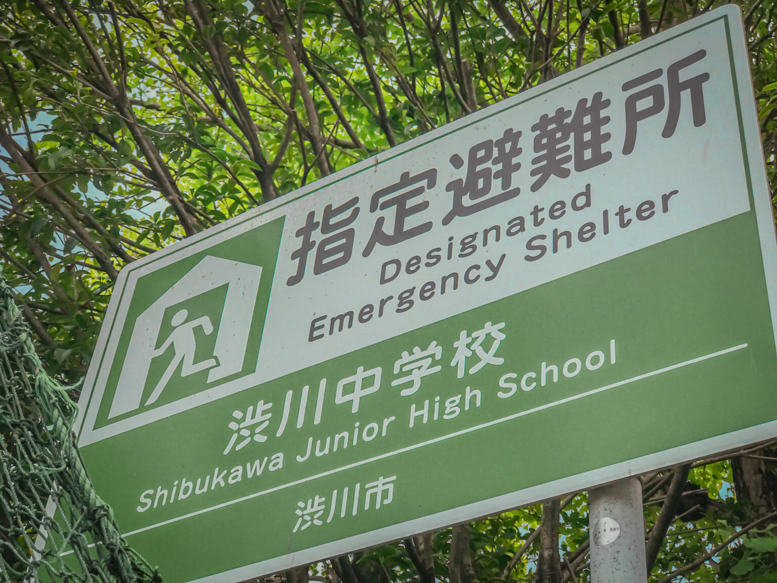
Although Gunma is safe from most large-scale natural disasters, it’s good to be prepared for the worst-case scenario. In addition to preparing an emergency kit and knowing emergency contact numbers, it’s helpful to know the closest shelter to both your home and workplace. Your workplace may even be a shelter!
There is a very convenient map of designated shelters on Yahoo!, but the guide is all in Japanese. English instructions have been written below for your convenience.
Evacuation Site Map
https://crisis.yahoo.co.jp/map/

If you don’t know where you are, leave the box blank and it can search based on your current location.
If you want to search for another area, either type in 群馬県 + your municipality into the municipality box (市区町村) and click the green search button, or search by clicking on a Prefecture listed below. (See 群馬)
The default setting will show you all or you can click on Type of Disaster (災害の種類 saigai no shurui) to see shelters for each type of disaster.
Disaster Symbols
![]()
- 地震 (jishin): earthquake
- 津波 (tsunami): tsunami
- 洪水 (kouzui): flood
- 土砂災害 (dosha saigai): landslide
- 内水氾濫※ (naisui hanran): inland flood*
- 高潮 (kouchou): tidal wave
- 火災 (kasai): fire
- 火山噴火 (kazan funka): volcanic eruption
*In cases of heavy rain, sewers and other drains overflow and buildings and roads can flood.
Using the map
The default search will give you a list of shelters for all types of disasters, but you can refine your search if you want. If you click on a shelter, it will tell you the location, address, and types of disasters you can go there for. (You can see that there are pretty much no shelters in Gunma for tsunamis or tidal waves because we don’t get them here.)

Here, you can see that you can go to Maebashi Park (前橋公園 maebashi kouen) in case of an earthquake or landslide.
There will also be a list of the 10 nearest shelters from the middle of the map.

And that’s all! I recommend also bookmarking this page on your phone so you can use it wherever you go in Japan. It might save you in case of a natural disaster!
Note: There is also an app available in Japanese, but you will need a Yahoo! account to use it.
You can see additional information and resources (incl. an emergency pocket guide for JETs) on the CLAIR website: http://jetprogramme.org/en/emergency-support/
